Another late-initiation chase, this time late enough to qualify as an outright bust.
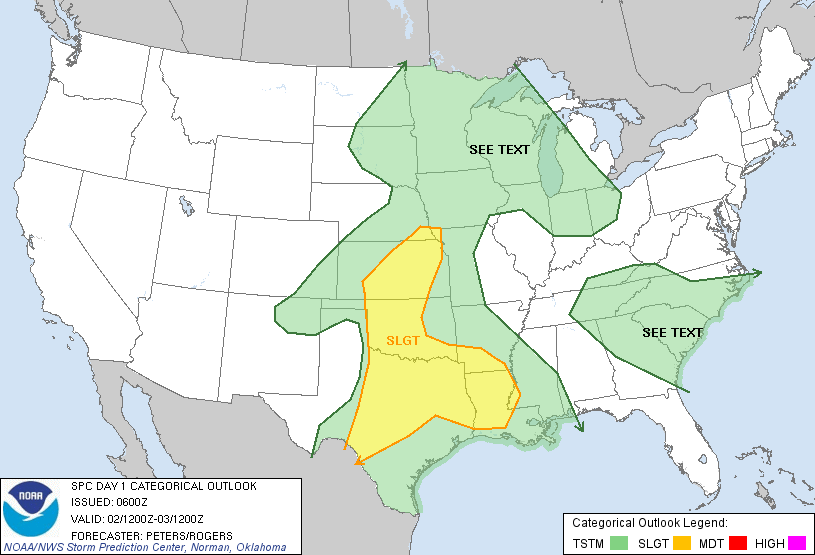
This setup was notable for its unconventional deep-layer shear profiles, as a closed low in the SW was holding back just far enough to create substantial backing in the mid- to upper-levels. A fairly strong gradient in upper-tropospheric flow magnitude and direction existed right near the dryline, with areas just to the W looking substantially better. Nonetheless, our desperation could not be overridden, so Derek Stratman and I set course for LTS after lunchtime.
On our arrival, discrete cellular convection was already underway in several spots across SW OK. Visually, the updrafts more closely resembled popcorn storms in FL than chaseable supercells. When we noticed the anvils were actually advancing with a westerly component, we had to laugh and accept our fate. Shear mishaps aside, it appeared that forcing was not sustained or of sufficient strength, as these cells rapidly weakened over a period around an hour or so with just a bit of small hail. We grabbed BBQ in LTS and were on our way by 8pm. Predictably, as soon as we started E, the dryline erupted with numerous intense cells (roughly along Abilene-Hollis-Shamrock) that quickly went linear but produced copious lightning and hail for those patient enough to stay behind longer. This region had been kind to us over Spring Break, but our luck there had run out for the year at this point.