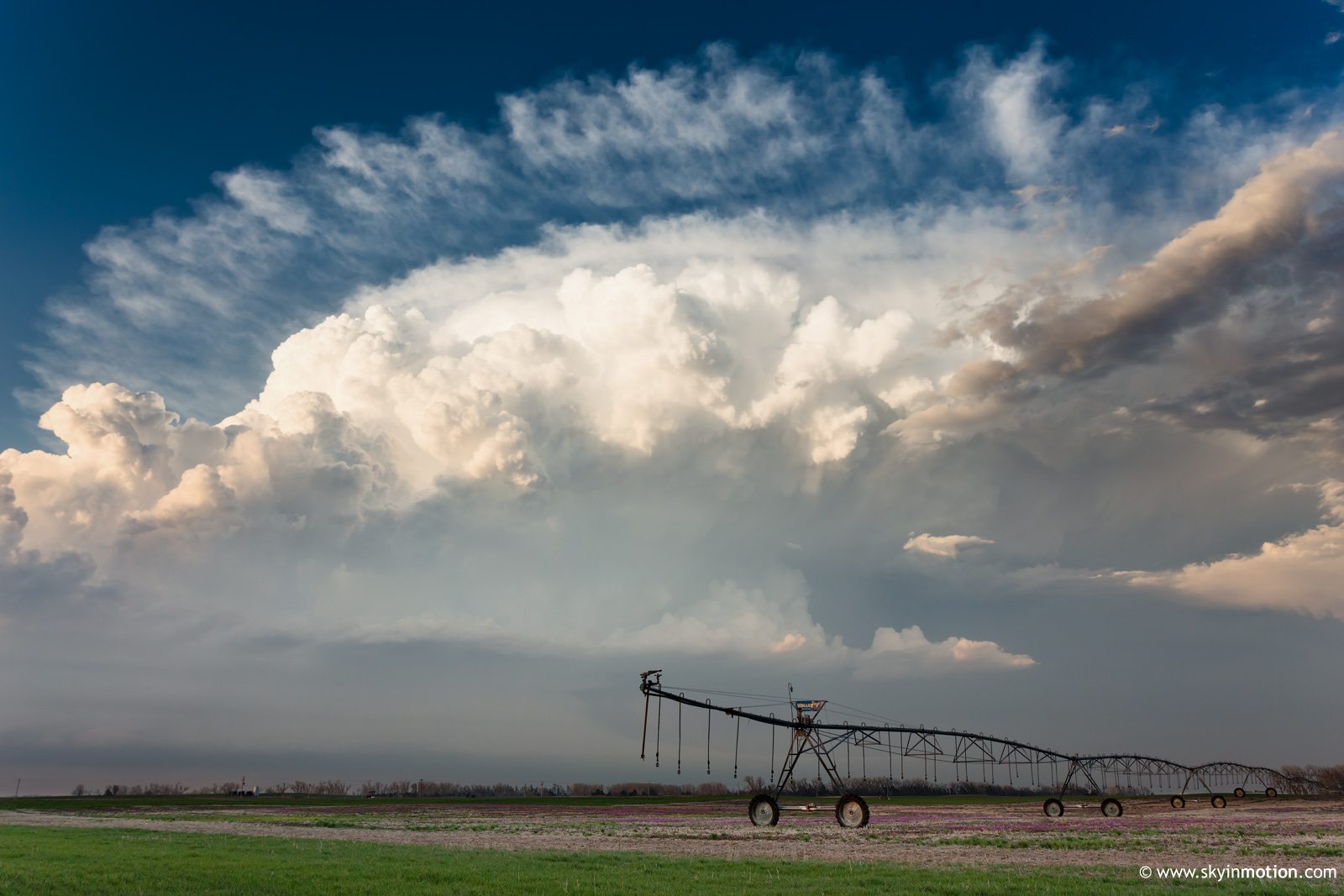
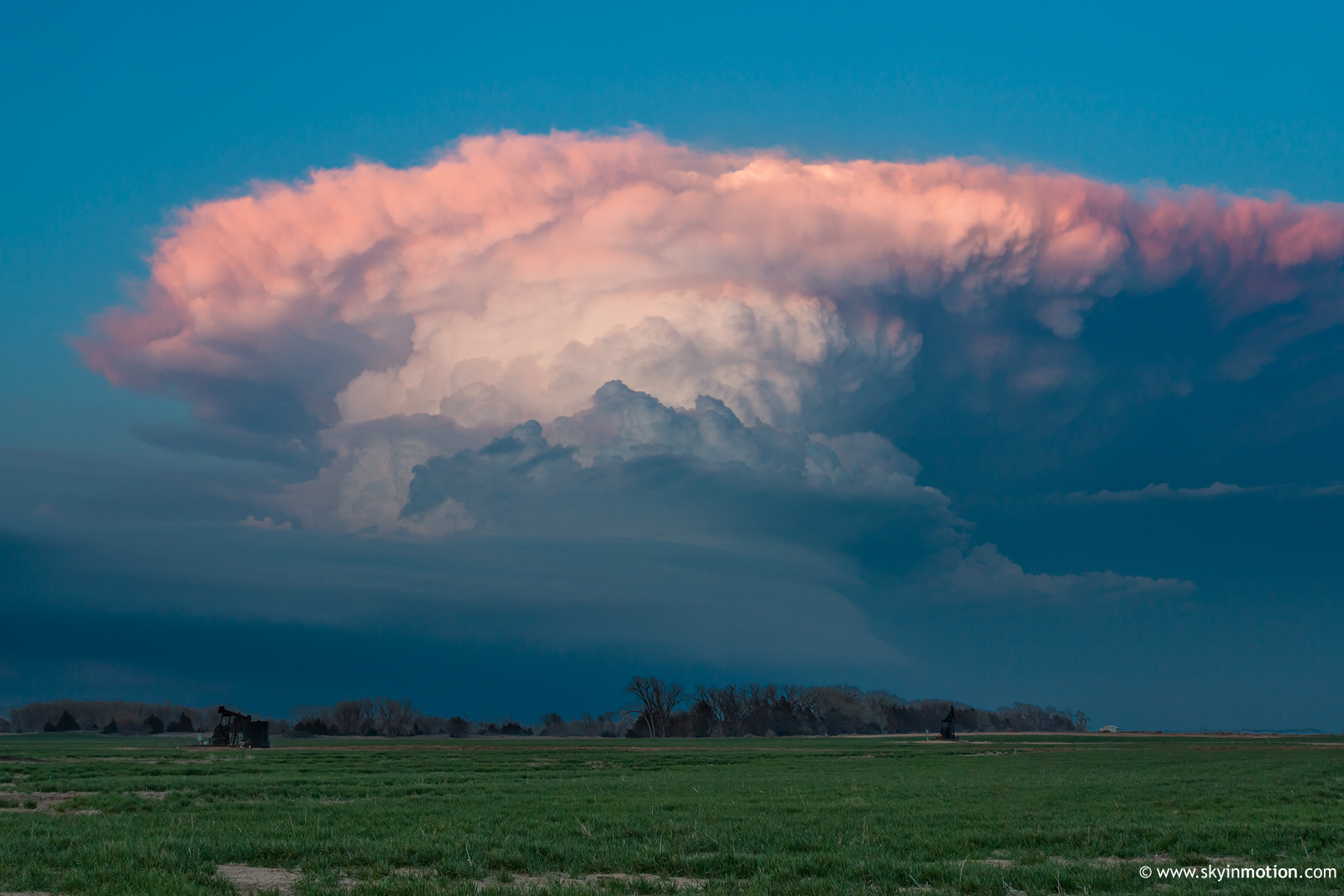
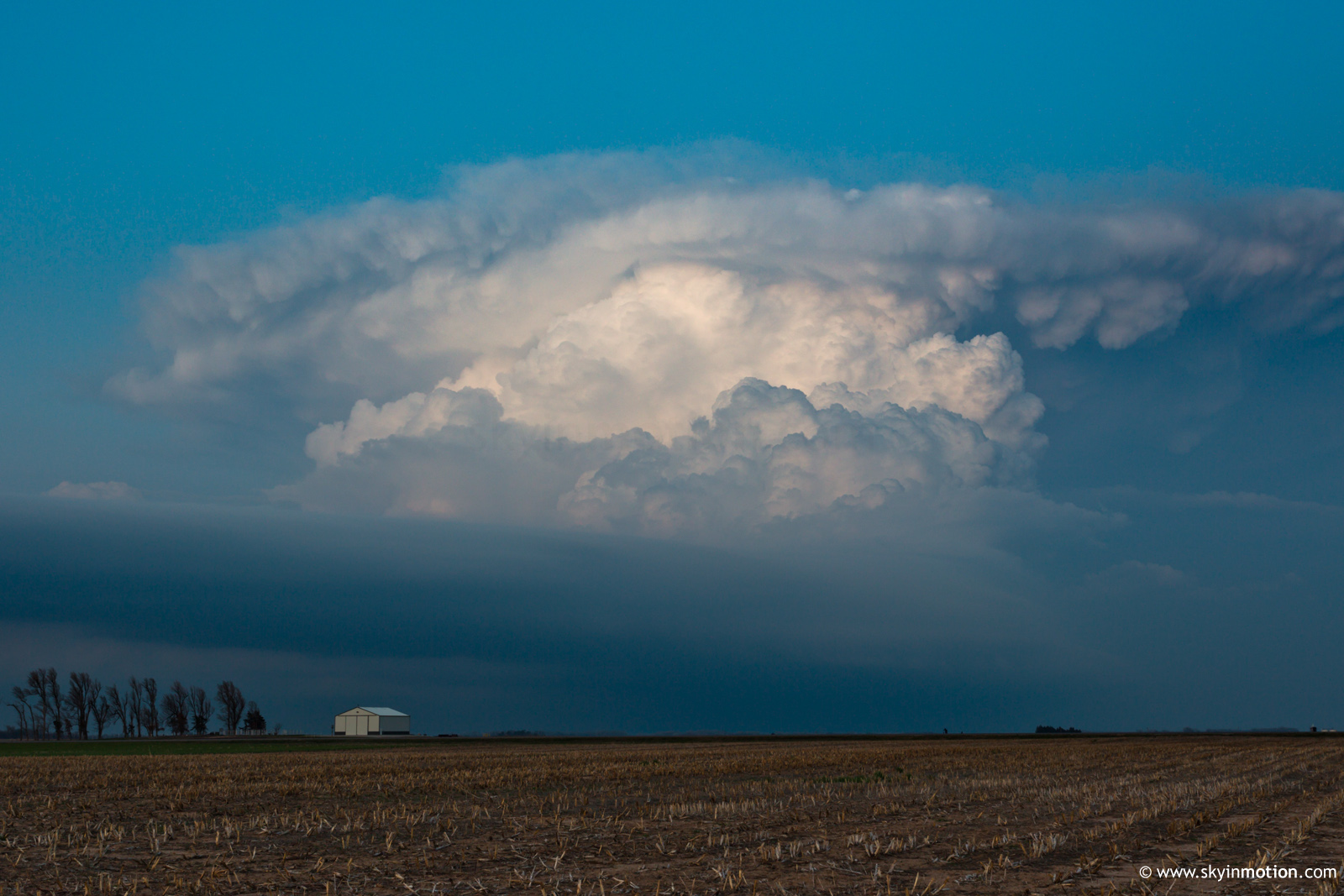
Persistent clouds hose most of the unstable warm sector, but a slightly-elevated supercell to the north shows off structure at sunset.
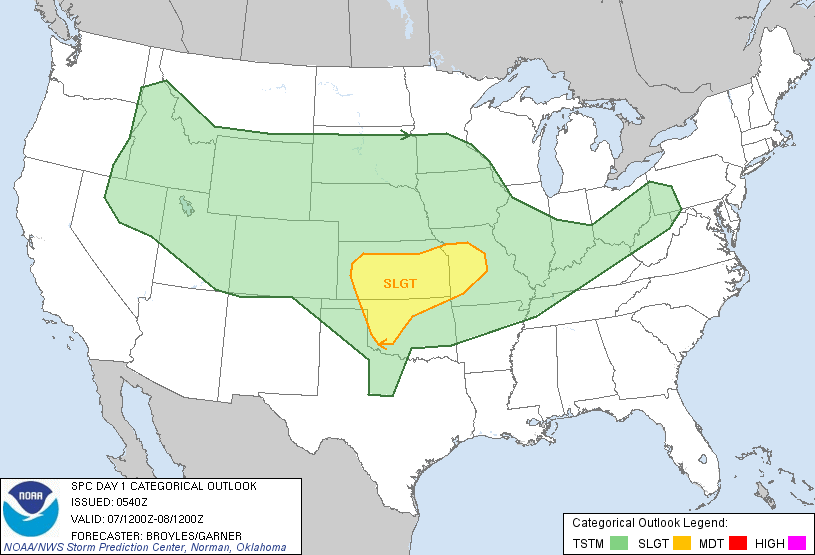
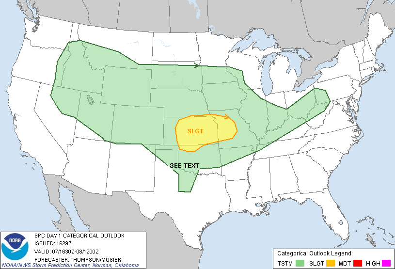
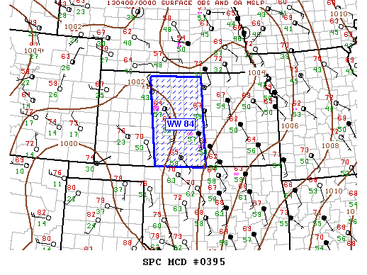
A beautiful longwave trough was beginning to take shape over the western CONUS, with the possibility of significant severe weather anticipated the following two days. Unfortunately, timing and capping issues looked increasingly likely to spoil both those opportunities as time progressed (and they ultimately did), while simultaneously the prospect of initiation in a moderately-favorable environment today (Sunday) was looking up. By morning, the RAP/HRRR were quite bullish, suggesting multiple supercells across south-central KS and north-central OK in an environment of ~3000 J/kg SBCAPE, 100-150 0-1 km SRH, and excellent deep-layer directional shear.
I left around 1:30pm with fairly high hopes, relative to earlier expectations. Low clouds blanketed much of N OK into KS, but the southern edge appeared to be lifting north with the moisture surge. However, by 4pm, it became apparent that clouds would hang tougher than expected. In fact, even as the stratus became more patchy over much of the area, a thick cirrus shield streamed in to pick up the slack. Ultimately, despite T/Td readings on the order of 74/62 over much of NW OK, the cloudiness would help to inhibit initiation over the open warm sector and along the OK portion of the dryline.
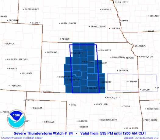
I gradually pushed N in an attempt to break out of the cirrus, and finally did N of Medicine Lodge. However, by that point, I was in much cooler and drier air (~67/55) than I'd hoped to chase. While numerous updrafts developed along the dryline from near DDC to HYS from 6-7pm, the southernmost to survive was all the way up by LaCrosse. Begrudgingly, I made the decision in Pratt to continue N for an intercept attempt, even though I had not planned on such a long haul this day. I figured 600 miles with photo ops beat 450 miles without, even if only marginally.
The LaCrosse supercell drifted rather slowly to the ESE toward Great Bend. As I sped northward, though, I soon came under a thick blanket of stratus again about 25 mi. S of the updraft base. Because of this, I completely lost visual, and there was no sign I'd regain it unless I simply went underneath the storm. Given its elevated nature, it was safe to assume there would be no jaw-dropping structure in such a position, so I dropped back S a bit to wait for the setting sun to provide coloration on a distant overview of the structure and anvil/mammatus. Thankfully, that plan worked out relatively well, and I shot these images (along with many other similar ones) around and just after sunset from near Seward.
It was about 8:15pm by the time I wrapped up photography, and I begrudgingly nudged N another 10 mi. to grab food in Great Bend (if you've ever tried finding food later than 8-9pm on a Sunday in the rural Plains, you'll understand my rationale). The storm continued to rage on for another ~90 minutes as it tracked toward Newton and I-135, but dinner put me behind the curve for any lightning ops, and it naturally dissipated rapidly just as I was nearing it at McPherson. I made it home around 1:30am.