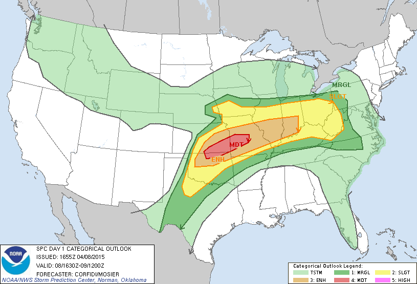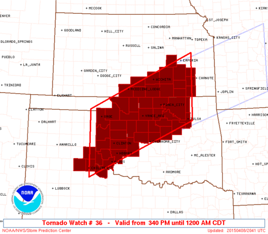
The first true disappointment of the year. A substantial trough was forecast to eject from the Rockies, perhaps just a hair later than ideal. During the final few days, model solutions trended decidedly lower in amplitude with this longwave, something I never want to see with early-season setups. Nonetheless, this setup would be characterized by a strong low-level jet and seasonably-impressive low-level moisture. Put another way, this was "parameter heaven" for early April. We seem to get those like clockwork in recent years, and the result is usually a heartbreaking cap bust. It wasn't quite that bad this time, but for a setup that rejuvenated the chase community and brought about lots of outbreak talk in the medium range, it might as well have been.
Dan, Derek and I left Norman around lunchtime bound for the dryline in west-central OK. Based on SpotterNetwork, this was a very unpopular choice, with almost all the hordes choosing I-35 northbound for the Wichita area. By the time we reached Clinton, an updraft near Shamrock was exploding, so we shot W to Hammon and then NW to Roll and met up with it. After about an hour of reasonably impressive growth, this cell began to struggle mightily, while simultaneously convection at the triple point near Alva (which had looked consistently mushy during our drive) really took off. For a bit, I thought our day was already over, as we were too far behind the latter activity to recover if it became the only play. In the end, it was the better play, but our dryline storm rallied and put on a decent -- if underwhelming -- show for the next hour or so.
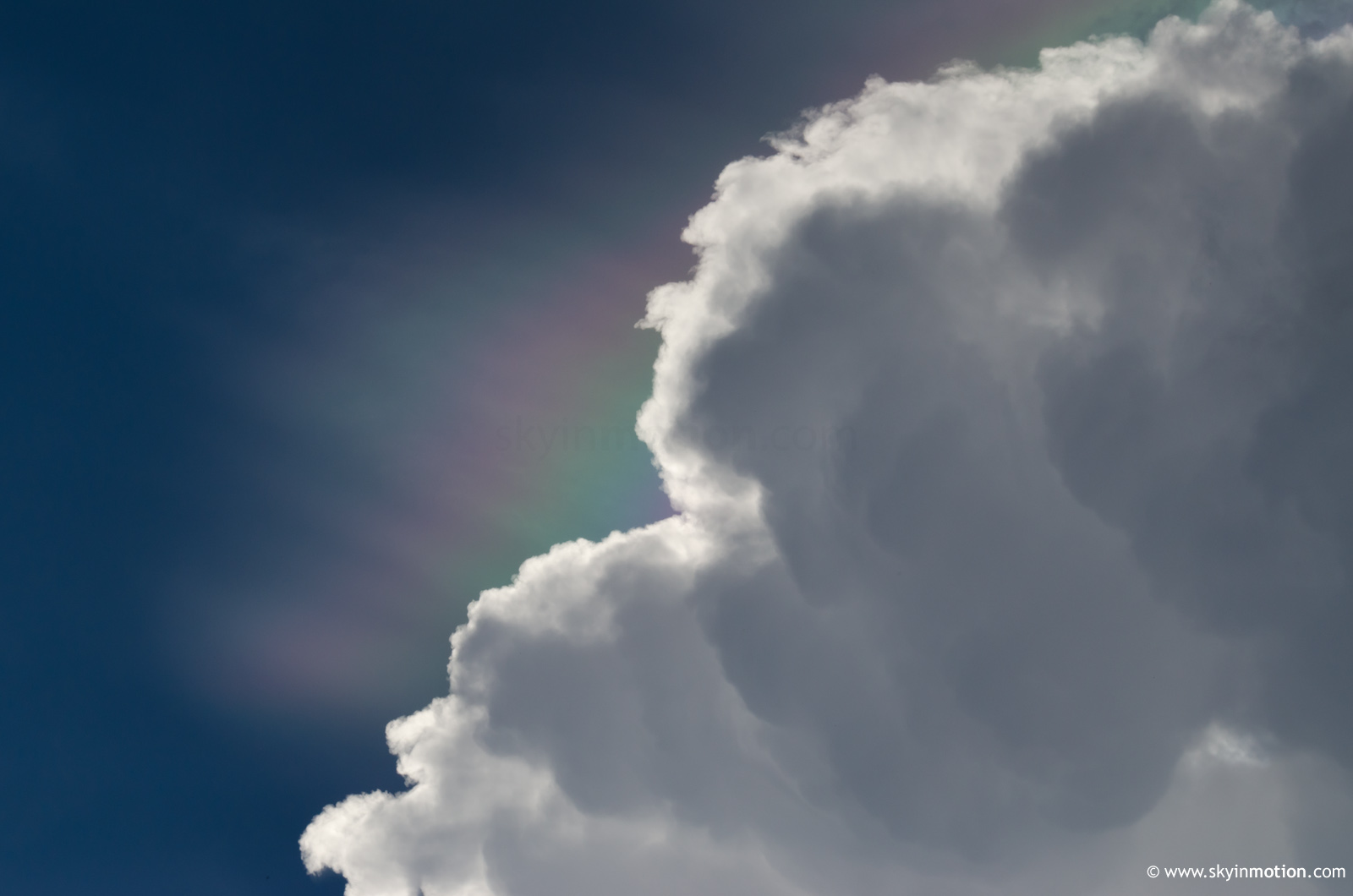
As the Roger Mills Co. cell began to revive itself around 5pm, we noted spectacular cloud iridescence on the updraft fringes overhead.
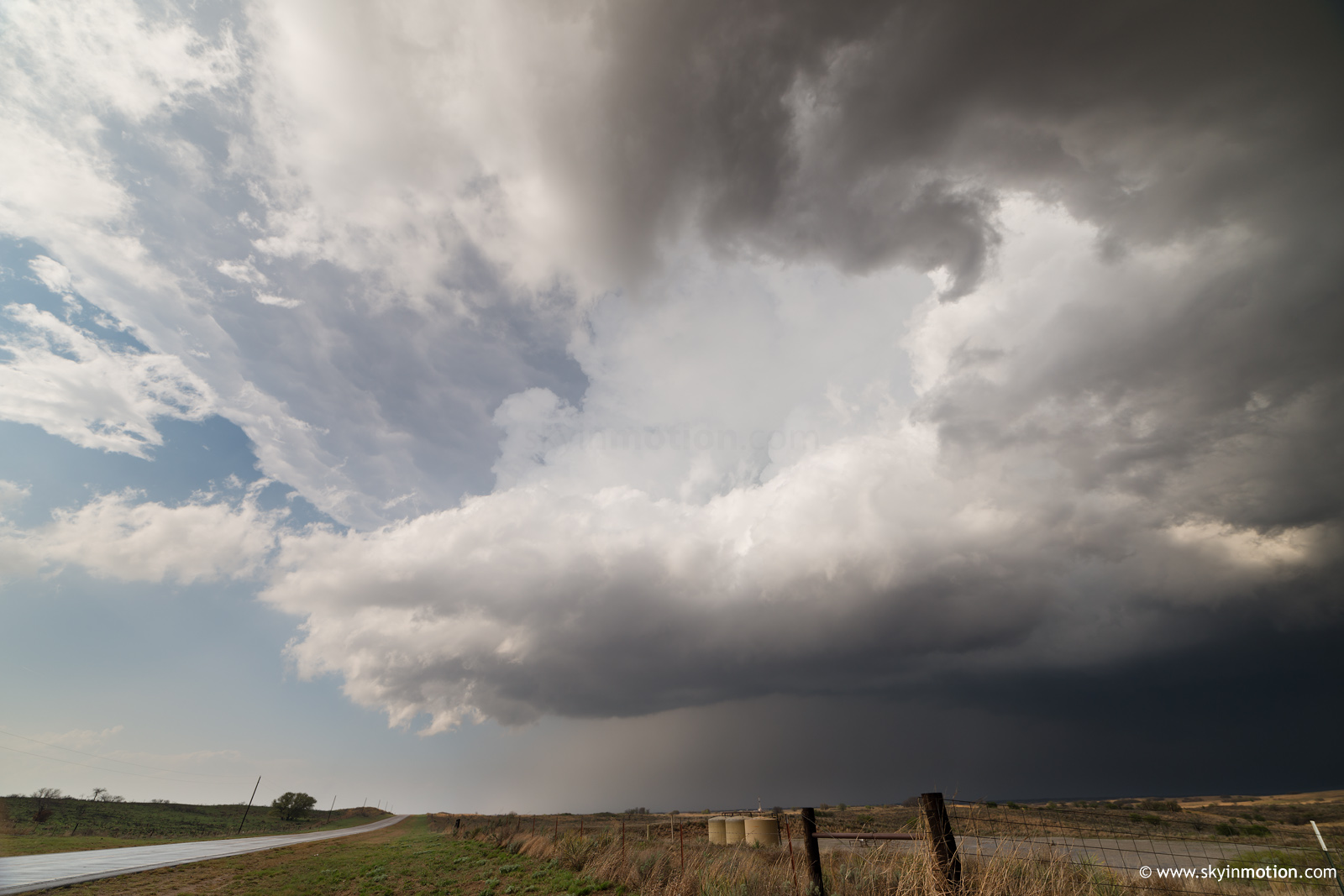
Afterwards, it began to exhibit pronounced mid-level rotation on radar, which soon translated into a decent low-level mesocyclone. As this occluded in a rather non-threatening manner, our view from behind the updraft on US-283 N of Roll made for perhaps the best photo op of the day.
Thanks to the Canadian (and its associated lack of road options), we then had to drop way S to continue E on OK-47 toward Leedey. For much of this drive, the updraft was rather spectacular and photogenic, typical of a large, well-established HP overcoming a capping inversion via its internal vertical pressure gradient. Sadly, we had just enough faith in its tornado potential not to spend time stopping for stills, a rather stupid decision in hindsight. Much of the area along I-40 had failed to warm much beyond late-morning surface temperatures due to the effects of extensive morning convection, which had a costly effect on low-level buoyancy. We knew the storm couldn't stay surface-based forever as it trekked E into increasing SBCINH, but we were still disappointed to see it rapidly become elevated near Camargo before shriveling up entirely by Seiling. Meanwhile, the cluster of cells up by Alva had struggled to organize for several hours, but finally did so around 7pm and produced at least a couple decent tornadoes near Medicine Lodge. Resisting the dryline is always hard, even when you know something like that is perhaps the most likely outcome. Sometimes it pays off; most of the time in recent drought-tinged years, it hasn't. We took the Northwest Passage home, stopping for Pizza Hut in Watonga and making it home by 10pm or so.