Class prevents me from getting out in time for some decent supercells near I-35.
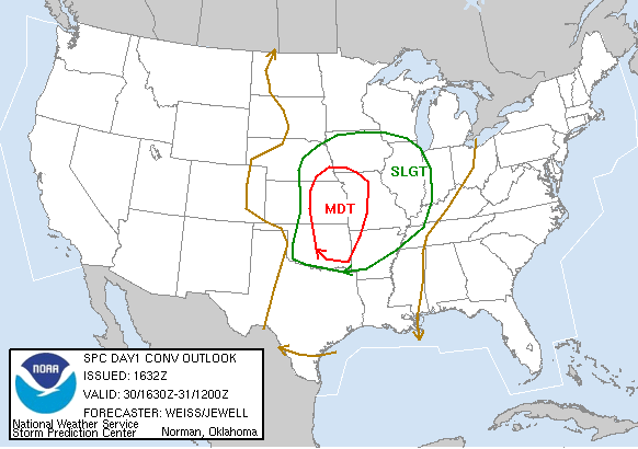
My first true storm chase, and it turned out to be a relatively crappy one in which I got a late start and had to go solo - but hey, you have to start somewhere. At the time of this writing, I honestly can't recall any details of the synoptic setup for this day, but I do know that it was the first significant outbreak shown on the progs for the Southern Plains in 2006. A moderate risk on the morning SPC outlook for much of Oklahoma along and east of I-35 officially ushered in the Spring 2006 chase season in my eyes, and by late morning, a PDS Tornado Watch went up for all of central Oklahoma. I could barely contain my excitement as the noon hour progressed and ominous statements poured in from SPC and NWS OUN. By very early afternoon, the radar began to light up with discrete supercells roughly along a line from Lawton to El Reno to Enid. As luck would have it, I had Physics Lab at 2:00 in the afternoon, which guaranteed a very problematic chasing day.
The storms that fired during the early afternoon moved eastward at a good clip, and at one point it appeared as though one was headed straight for Norman. That was not to be, of course, and it tracked just north of the city while weakening (I'm tempted to reference the "Norman Bubble," but I'll refrain). After it passed, I reluctantly headed to class, enraged that such a triviality could intrude on my storm observation ambitions. I was out by 3:00pm, but by that time, the dryline was quickly nearing the I-35 corridor. The best storms were now over Grady, Stephens, and Garvin Counties moving eastward.
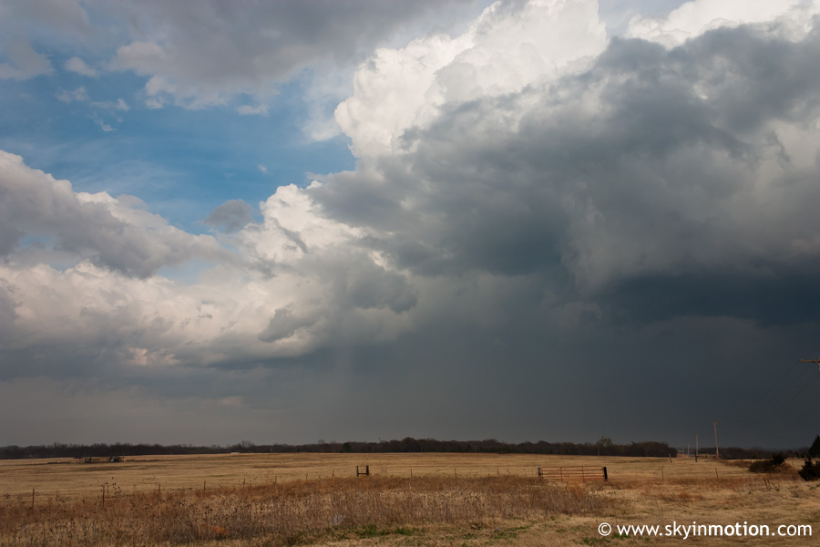
I scrambled to gather the essentials and embarked on a mad rush southward on I-35, but soon opted to to make some eastward progress by getting off at Purcell, as I could see that the storms were already pushing on from the I-35 corridor. After a quick fuel stop, I headed eastward on OK-32, which would remain my main route for the remainder of the so-called chase. I gradually caught up with the back side of a storm west of Asher, but it looked rather disorganized - indeed, it had weakened substantially from the rotating supercell it had been west of Pauls Valley when I was leaving Norman.
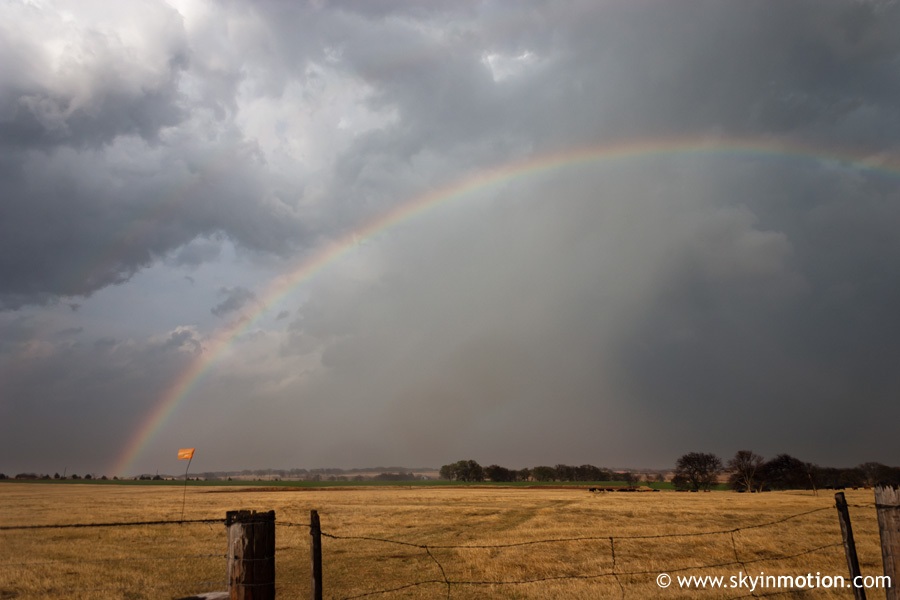
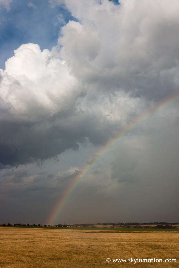
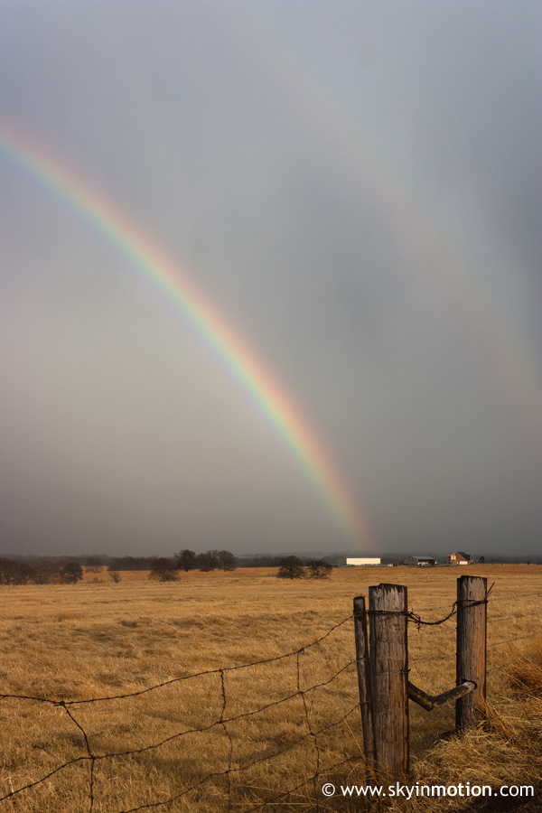
I entered heavy precipitation as I continued east towards Konawa, where I ultimately turned around, realizing that I would never be able to position myself east of the storm before sundown; plus, the storm seemed to be weakening anyway. Only a short while after turning around to head back west, though, a nice, surprising touch to my first chase appeared in the form of a bright rainbow no more than a couple miles to my east. Needless to say, another picture stop was in order.
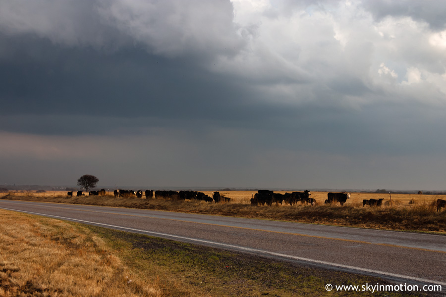
While I was stopped shooting the rainbow, cattle on the other side of the road were making all sorts of noise, apparently stirred by the intense precipitation that had just passed over the area.
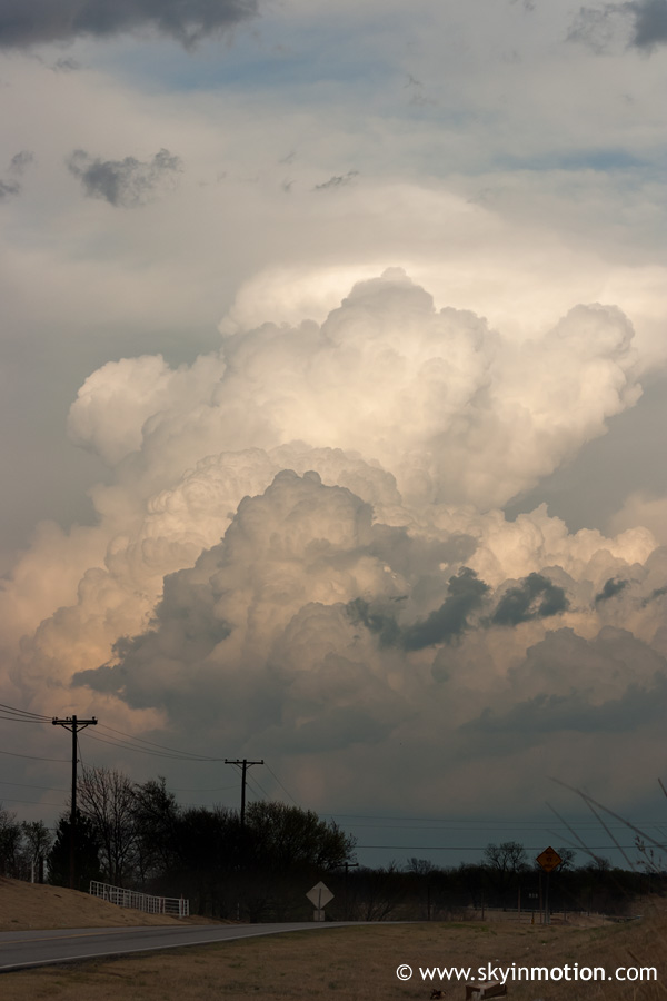
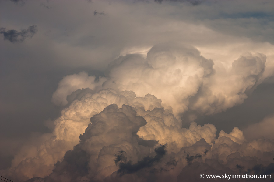
I stopped again in Asher on the way back since there was now enough distance between me and the storm to get a better view of its high (but softening) top.