Observed 2 tornadoes.

This was sort of an absurd day for me: not in a good or bad way, just funny and ridiculous. I woke up in Burlington, CO, about 90% set on heading W to hike in the mountains after chasing the previous day. I stayed in my room almost until check-out casually browsing routes and trails in RMNP and surrounding areas, barely even paying attention to weather data. Around 10am MDT, I started heading W on I-70 and made it almost 30 miles to Vona before pulling off and giving the data one final look. After clearing my head, I begrudgingly chose the eastbound entrance ramp, and the rest is history. It was almost a 5-hour jaunt on I-70 from Vona, CO, to Junction City, KS, but I still had some time to spare before the storm of the day initiated NW of MHK around 5:45pm CDT.
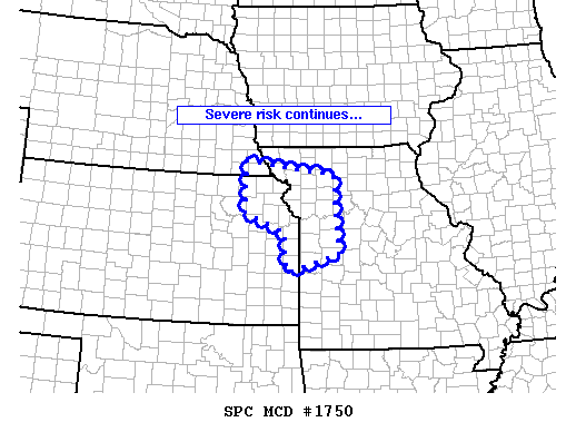
The point of CI was laughably and predictably bad for chasers: just NW of the worst terrain in all of KS *and* a large military facility. Exasperated, I decided to pull right under the updraft base early on near Riley, knowing I'd have to drop way back regardless once it moved over the facility.
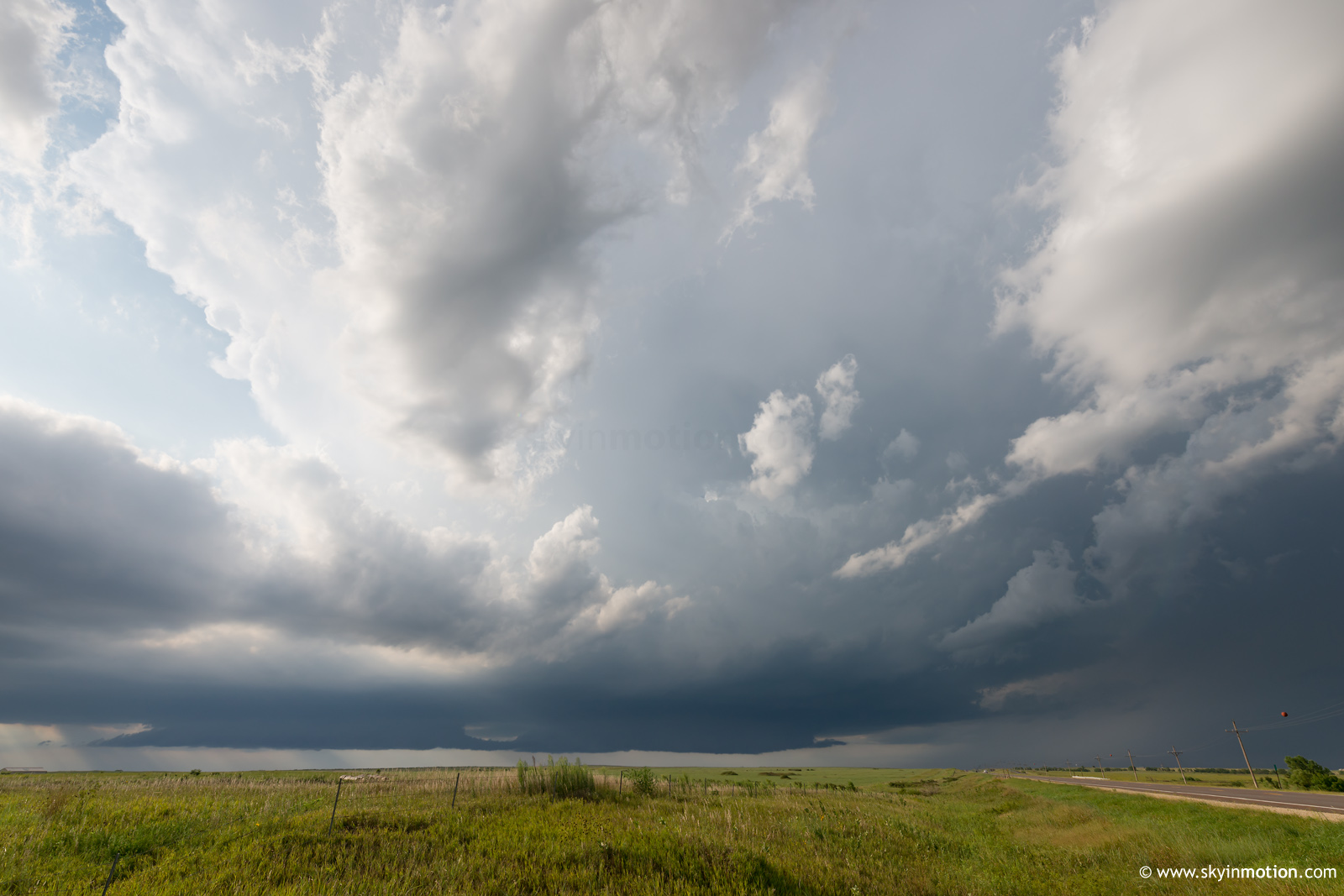
After a short viewing window, I looped back through Junction City and watched the base cross I-70 just E of there. Keeping with the theme of the previous day, this SE-moving storm seemed bound and determined to maximize chaser frustration in choosing road options. I hesitated for awhile to push E on the interstate to K177 southbound due to the hail threat, but -- thank the heavens -- eventually decided to roll the dice (and ended up with nothing more than moderately heavy rain). While heading S toward Alta Vista, the first (highly visible) tornado of the day occurred off to the E as a cone that lasted around 60 seconds. I was only able to shoot handheld video while driving before it dissipated.

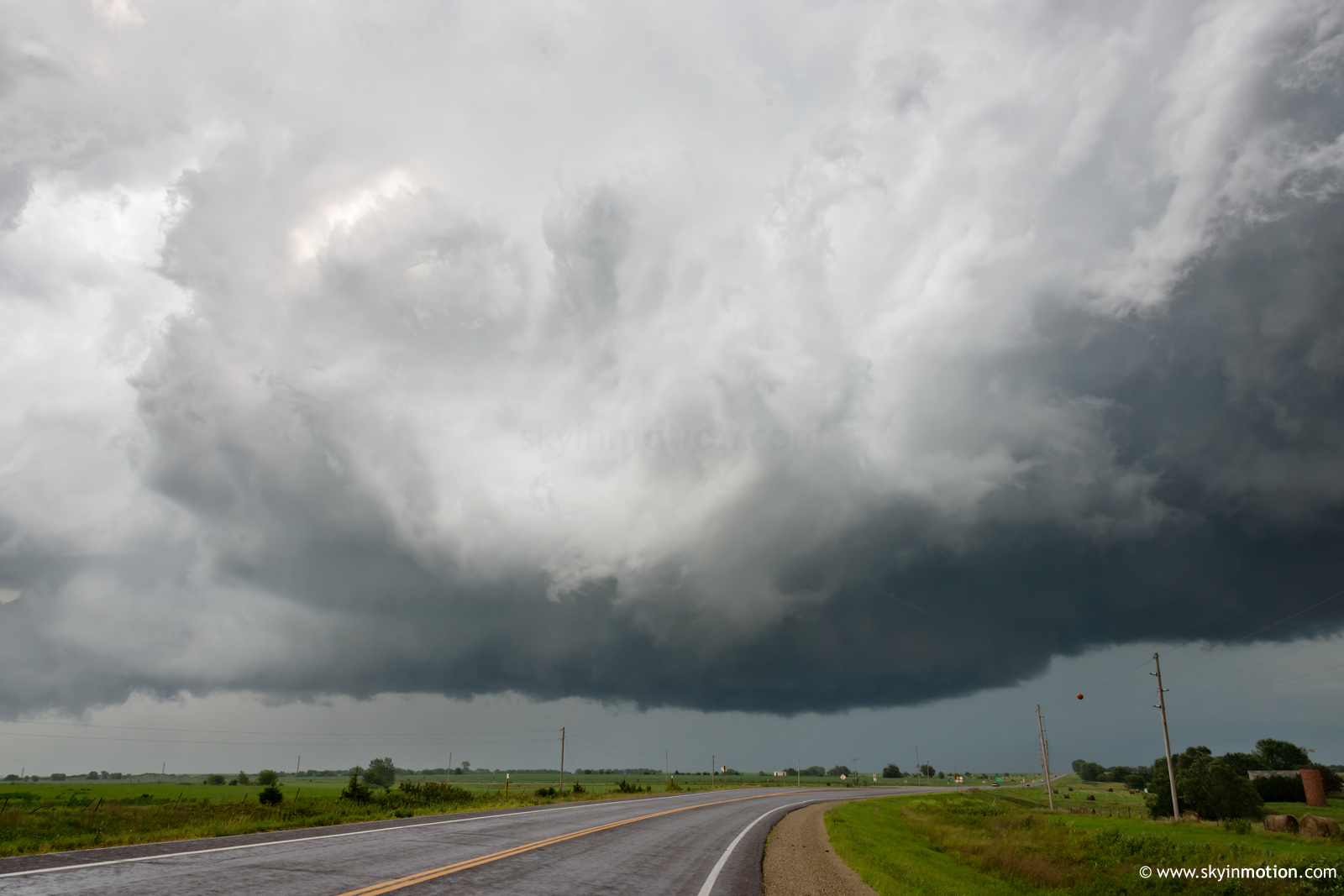
Heading E on KS-4 out of Alta Vista, I finally regained good position just ahead of the base and watched some nice structure at sunset, hoping in vain for a new touchdown from this nicer vantage point.
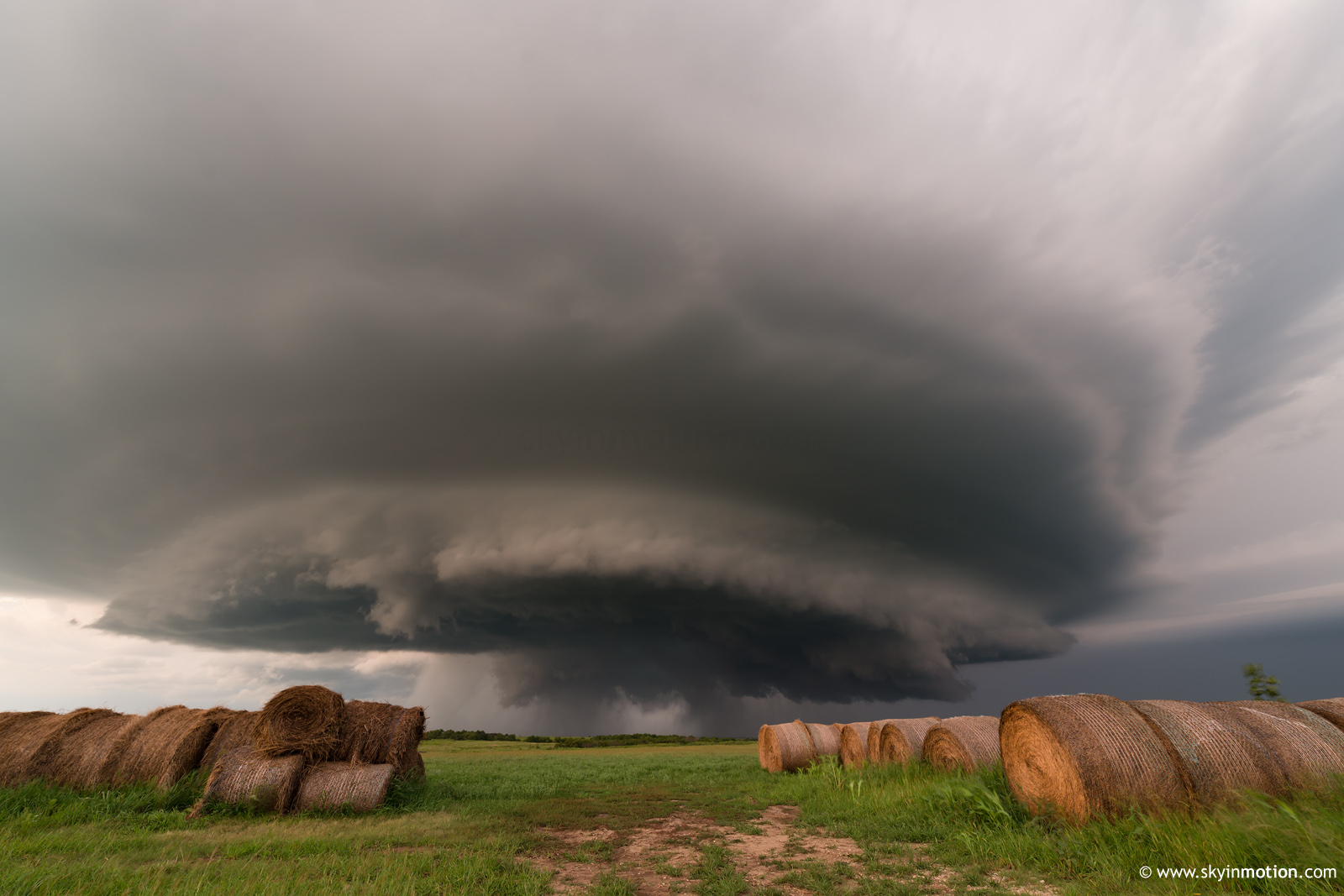
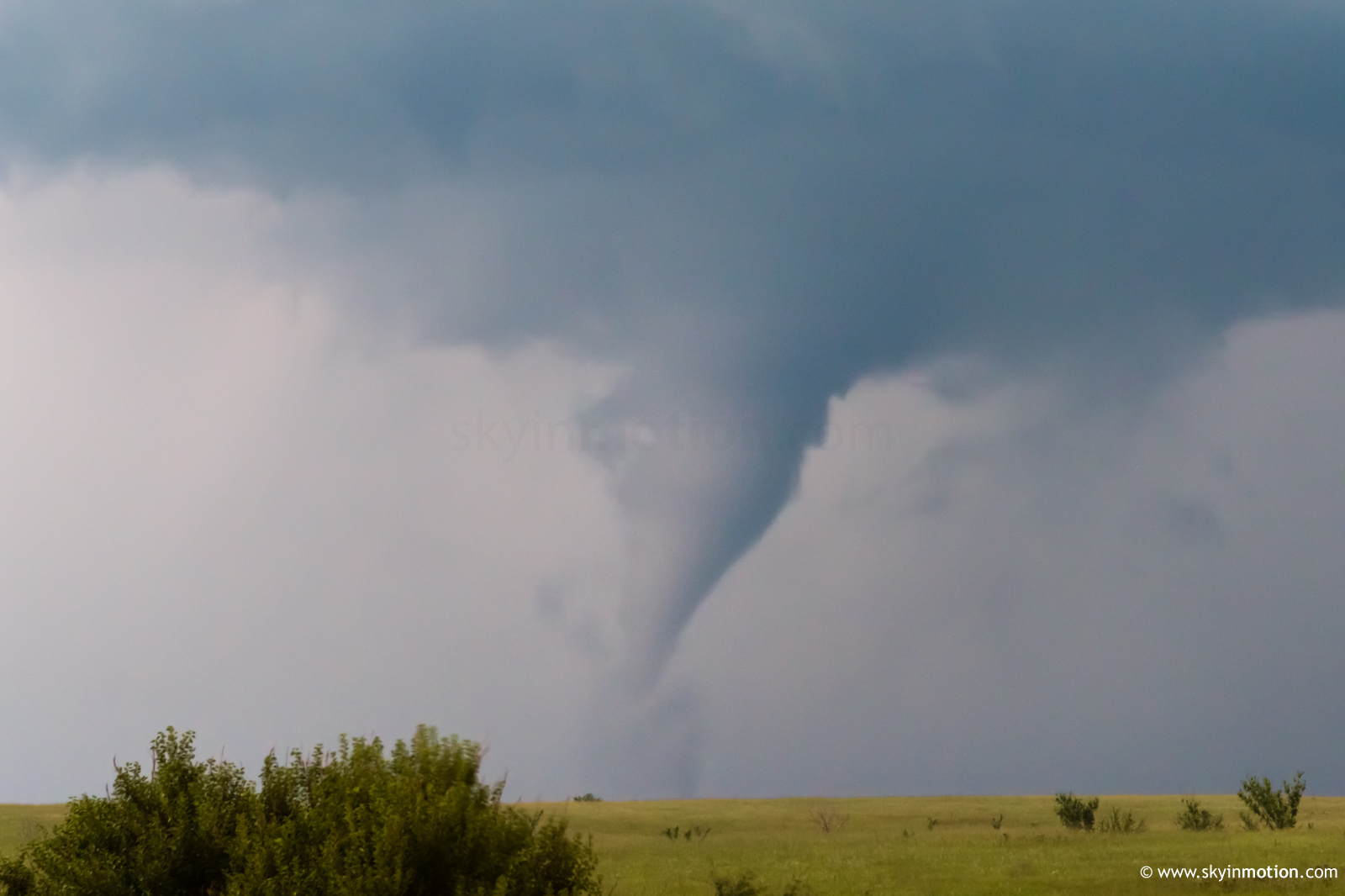
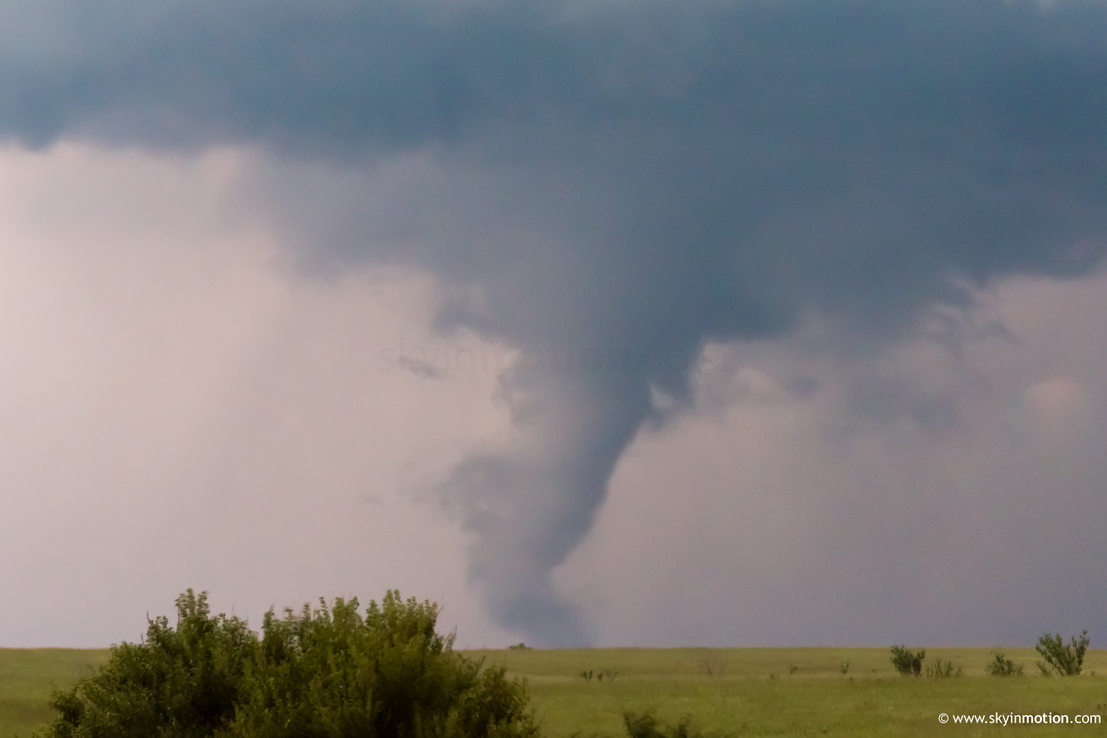
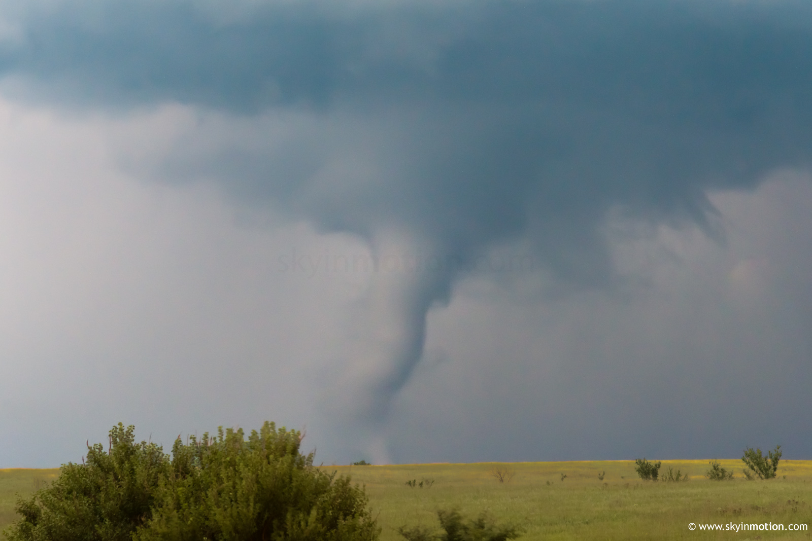
Eventually, another tornado occurred somewhere E of Volland and SW of Alma at dusk, around 8:45pm. This was an occluded circulation well NW of the newest, most obvious mesocyclone at that point; thus, I only noticed it to my N after it had been ongoing for probably a minute or two. I scrambled to find a hilltop and managed to shoot some telephoto stills for a few minutes before it roped out.
Afterwards, I attempted to continue ESE as this storm produced multiple additional tornadoes after dark, but quickly realized the futility given the road options. Having lost data for a fairly long period by now, a new, intense trailing supercell had an unpleasant surprise in store as I scurried back W toward Alta Vista: sporadic golfballs and some of the most blinding rain I've ever experienced after dark.
When I flipped my car around to return eastbound on I-70 in the morning, it was a decision made primarily out of FOMO and desperation, so I couldn't be happier that it paid off. These were my first August tubes, and it doesn't seem too much of a stretch to say we might go decades without another easily-targetable opportunity like that in KS.