Linear convection and a gustnado in southwest Oklahoma are the best Fall 2007 has to offer.
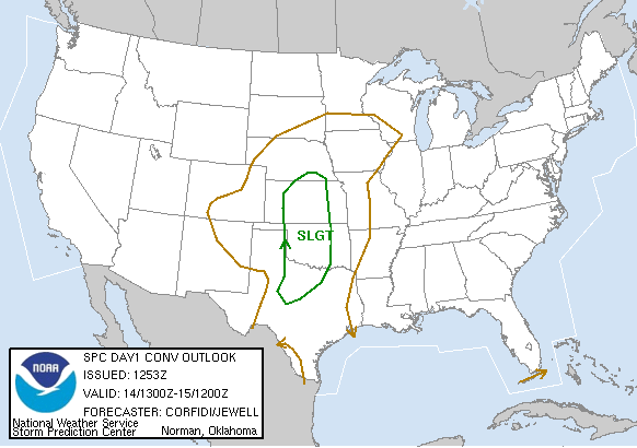
This was the second and more realistic of two consecutive chase days, and while it didn't turn out great, at least there was convection this time around. As a cold front entered the High Plains, a dryline was forecast to extend southward from a surface low in SW KS, with a secondary low developing in the vicinity of Childress providing focus for thunderstorm development to the east of there. Unfortunately, warm autumn mid-level temperatures would keep instability in check. More concerning, though, was very meridional flow parallel to the dryline in association with the sharp incoming trough. The setup bore some striking similarities to May 6, and ultimately turned out rather similar.
Brandon, Bryan and I left sometime in the early afternoon for Lawton. On the way down, we heard that NWS OUN had upgraded SW OK and NW TX to a "moderate risk," and excitedly assumed there must be promising developments and that the 2000 UTC SWODY1 would do the same. After stopping in town for wi-fi, moisture and surface winds seemed to be in good shape, so we felt pretty good given the less-than-extraordinary potential the day had appeared to offer. After awhile, we repositioned west to Snyder, and sat there for a good hour and a half or more awaiting initiation. Gabe Garfield, Jeff Snyder, and a few others ended up in the same place, so we conversed with them, and ultimately followed them north out of town when storms finally began going up sometime during the 5:00 hour.
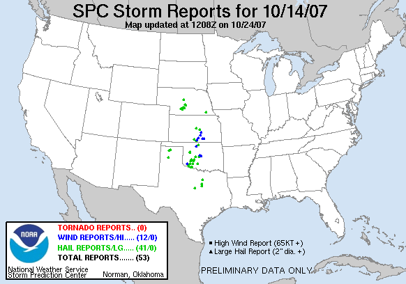
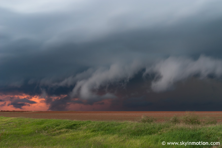
We didn't have to go too far to get a decent view of the several cells quickly exploding on the dryline a county or so to our west. We pulled off just W of Roosevelt, and remained there for the next 30-45 minutes, during which time brief supercell structure appeared with an updraft to our due W, but everything was generally becoming linear in a hurry.
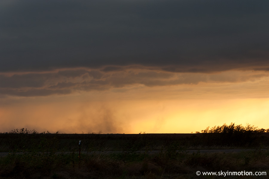
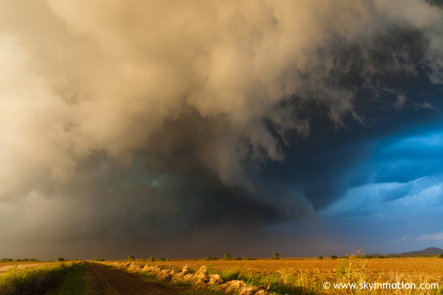
The highlight of the storm was a substantial and fairly long-lasting gustnado that spun up a few miles to our SW.
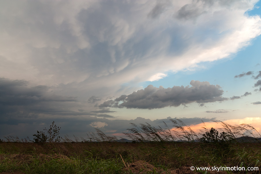
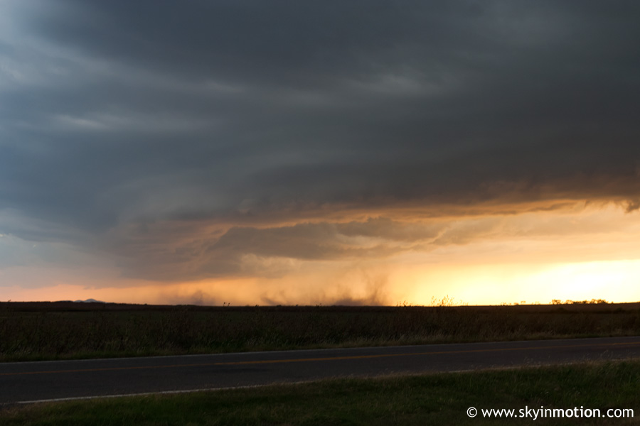
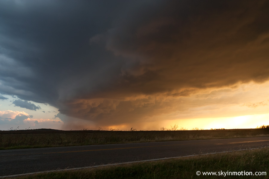
Other than that, some mildly photogenic structure, peaking with the gust front arriving at our location as the lowering sun provided brilliant coloration.
As nasty cold outflow overtook us (with some fairly strong winds), we headed east to retain our westward view of the gust front, stopping again about 6-8 miles east of Roosevelt for another look as twilight set in.
After that, we packed it up and returned home, enjoying the lightning show as we stayed just ahead of the now-raging squall line.