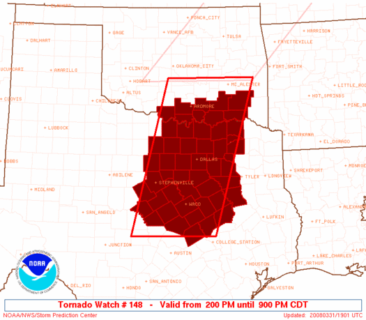
We intercept multiple supercells from the Dallas suburbs to southeast Oklahoma that fail to produce, thanks to poor low-level winds.
Not much to see here. Veering low-level winds scouring out moisture looked to be a major problem all along for this setup, and the result was not surprising. Brandon, Bryan, and I headed south on I-35 late in the morning, planning to stop in Ardmore and wait for dryline convection to fire just to the west. We ended up continuing to Gainesville instead given the tantalizing dew points south of the Red River, plus the fact that the terrain east of I-35 is less horrendous once into Texas. After grabbing lunch, we decided to head east towards Sherman to get in position for a few anemic-looking cells developing W and SW of Dallas. Over the next half hour, these storms began to look more impressive on radar, and eventually one became tornado-warned as it moved into southern Dallas County. We were too far north to have a shot at intercepting that one, but the next storm to the north was looking better too, so we raced south towards McKinney to get ahead of it. Once there, we battled traffic and endless suburban buildings blocking our view of the approaching supercell. Tornado sirens were blaring in McKinney, and the storm produced a handful of wall clouds, but nothing too impressive.
As we attempted to follow the supercell through the terrible road network and forests of eastern Collin County, it simply evaporated at a shocking rate. No more than half an hour after we had been right under a wall cloud in McKinney, the updraft had virtually disappeared, leaving little more than an anvil. Oh, how I love veering winds and moisture getting mixed out on chase days. Meanwhile, while we had been preoccupied with the Dallas-area storms, other very messy-looking activity had developed along the I-35 corridor in south-central Oklahoma and was racing east. One storm just north of the Red River had become more discrete and was now showing significant rotation as it passed east of Ardmore. We shot north as fast as we could to meet up with it, and were finally able to do so just east of Durant. Though an HP beast, this storm did produce a few very impressive wall clouds and lowerings. Unfortunately, the road network and storm motions were not very conducive for stopping, so I didn't bother trying to get pictures. We paralleled the vast, ominous core just to its south on US-70 for quite a distance; reports of hail larger than baseballs were common just miles to the north of our path. By the time we reached Hugo, sunset was under an hour away and we were craving sustenance, so we decided Pizza Hut sounded better than another hour following the HP storm away from home and into the jungles of the Arklatex. We made it back home around 11:00, witnessing some nice lightning along the way.