More messy HP action in north Texas that does not pay off for chasers.
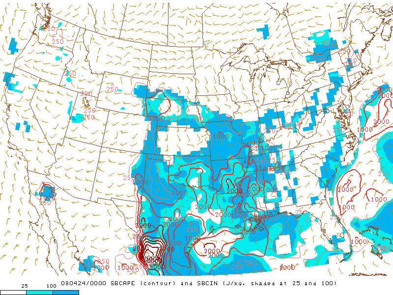
Another warm front chase in NW TX is not exactly what anyone wanted after the April 9 debacle, but it's what was on tap for this day - and given the complete lack of decent tornado days up to this point in 2008, it sure wasn't worth passing up. Bryan and I left after lunch and headed SW down I-44, planning to continue south until hitting I-20 and reassess the situation there. A less messy looking target had revealed itself farther W in the Midland-Lubbock corridor, where initiation was expected to be later in the day and more isolated, but we were unable to leave early enough for that - so we stuck with the warm front play.
By the time we were approaching Wichita Falls, there were already multiple tornado-warned supercells just north and west of Abilene. It was a race against time. Retracing our April 9 path almost exactly, we shot SW to Seymour, then S on US-283 to Throckmorton. By the time we were passing through there, one possibly-tornadic supercell was located only 20-25 mi. to our SW, moving E. We continued S towards Albany, hardly able to get any data or NOAA Weather Radio coverage in this most desolate section of Texas. As we approached Albany, an impressive wall cloud was visible just W of town. We stopped in a few different spots, half-expecting to see a substantial tornado emerge above the treeline at any time, but never caught a glimpse of anything it one was occurring. Eventually, it became visually apparent that the monstrous core of this HP cell was bearing down on us, so we shot S toward I-20. Judging by the terrifyingly-dark wall of precipitation that loomed only a mile or two W of the road as we darted S (at just a tad over the speed limit), we came painfully close to getting some serious hail.
When we got to Baird, the latest radar imagery showed the entire warm front becoming an ungodly mess - surprise, surprise. Multiple supercells were present, but they were running into each other, starting to take on an MCV-like appearance with broad couplets deeply embedded within the precipitation cores, etc. Far to the W, much more classic-looking supercells had developed N of Midland, at least one of which would go on to produce one of the first photogenic tornadoes of the 2008 season. As for us, we decided there was no reason not to start heading E on I-20 towards DFW. The warm front convection looked too messy to be worth the trouble of seriously pursuing, but at least we'd be on our way home.
As it turned out, we'd end up "chasing" some messy HP's whether we wanted to or not! As we made our way through Eastland County, we noticed a fairly strong couplet to our S, moving ENE. Though I had little desire to follow something in this mass of widespread convection for the sake of following it, this looked to pass very close to I-20 as it moved a bit farther east. Approaching the Erath County border, traffic suddenly came to a halt; this enraged me until I realized it was likely due to giant hail occurring just a few miles ahead. After a good 10 minutes of barely moving, we decided we had little choice but to take the closest exit (despite very poor road options from that point) if we wanted to have any chance of seeing what the now tornado-warned area of rotation was up to. Just as we pulled off I-20, we witnessed several power flashes a few miles to the SE - this would have been a few miles S of New Salem, or a few miles W of Lipan. Then, as we proceeded S on TX-281, very widespread downed leaves and branches made me question whether something had just come through; eventually we came upon a significantly-damaged gas station and downed powerlines near the Erath/Palo Pinto County border that seemed to indicate so.
Now the MCV was pulling away to the NE, and we just wanted to get home as quickly as possible since it was already after 7:00 PM. This would become quite the challenge, though. The warm frontal zone was becoming absolutely inundated with very intense convection, and it was almost impossible to escape the deluge occurring all throughout North Texas. Even staying 10-15 mph below the speed limit, I felt eerily lacking in control of my car as we attempted to use backroads to take a shortcut over to US-377 from TX-281 (rather than go all the way down to Stephenville where they intersect). Not long after turning onto US-377, while plodding along at 45 in a 60, I had a seconds-long hydroplaning episode that sent us careening off the highway and into a small ditch on the right side of the road. Though I was able to get the car out of the ditch without any assistance, I somehow ended up with a huge mass of grass and other plants stuck under one of my hub caps, which we later had to pull out since that tire was making god-awful noises. I can hardly complain, though, since careening to the left into oncoming traffic could have been just a bit worse.
The fun wasn't quite over yet, though. I wanted to wait out the excessive rainfall at a gas station after our little incident, but when it still hadn't let up at all after 10 minutes, I knew there was no point. We continued E to Granbury, which was without power and flooded to all hell. As we maneuvered through the pitch-black downtown area, I must have driven through >6" of water on at least three or four occasions, each time just waiting to hear the car stall out. Somehow we managed to get through, so we stopped at Arby's on the east side of town (which actually had power); by the time we finished, the flooding had finally subsided a little. Of course, even then, there remained plenty more torrential rain to get through as we made our way through DFW and north on I-35, leading to lots more white-knuckle driving and hydroplaning. We made it home sometime around midnight, ending a chase that will be remembered much more for its amusing driving mishaps than anything of meteorological significance.