I salvage a supercell-bust by photographing mammatus and outflow in the Texas Panhandle.

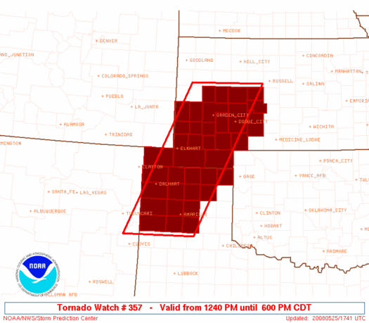
More a photography outing than true storm chase, but I set out with good intentions. Western CONUS troughing had further retrograded and de-amplified following the back-to-back outbreaks on the 22nd and 23rd, resulting in more zonal and weaker mid-level flow than on those big days. However, the ever-present dryline was still hard at work, and instability was forecast to be more than sufficient for another round of severe weather, possibly significant. I woke up at 11 AM, still exhausted from the three-day outing that had ended the previous night. I was surprised to see the SPC highlighting 10% hatched tornado probabilities as far south as NW OK, and almost immediately gathered my gear and scarfed down a quick lunch. I had to stop at the AT&T store on the way out to replace the sorry excuse for a data cable I'd purchased on eBay with the real deal; 15 minutes and $26.99 later, I was on my way to Woodward as an initial spot to watch things evolve.
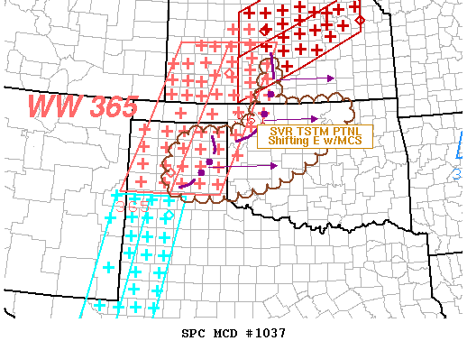
By the time I rolled into WWR, most of what excitement the day would have to offer was already in progress, and well out of my range. Widespread supercells had developed in much of W KS, most of them north of DDC, and a few were tornado warned. Of more interest to me, particularly given that I was solo chasing after having already spent well over $100 over the previous days, was a lone tornadic supercell NW of Amarillo that was creeping eastward in my general direction. Of course, the firehose mid-level flow and Mach 5 storm motions that had made chases earlier in the week so difficult were nowhere to be found, now that I needed them: the storm was easily 150 miles away, and advancing at maybe 25-30 mph at best. I thought better of racing westward through the Panhandle and adding another $40 or more to my fuel bill for the day, particularly given the fact that the radar appearance of the cell was rapidly trending towards an HP mess. In an uncharacteristic display of patience, I decided to sit tight and find some chow at a local gas station. It wasn't until 4:30 that I finally made my move, and it wasn't a very bold one at that: by that time, I had resigned myself to a non-tornadic and possibly even non-supercellular chase, and instead focused on at least salvaging the outing with some photo ops. My best bet was to meander west into the NE TX Panhandle, where the striking natural landscape would combine with whatever form the approaching convection might take to at least give me a reason to pull the camera out of the bag, so I did just that.
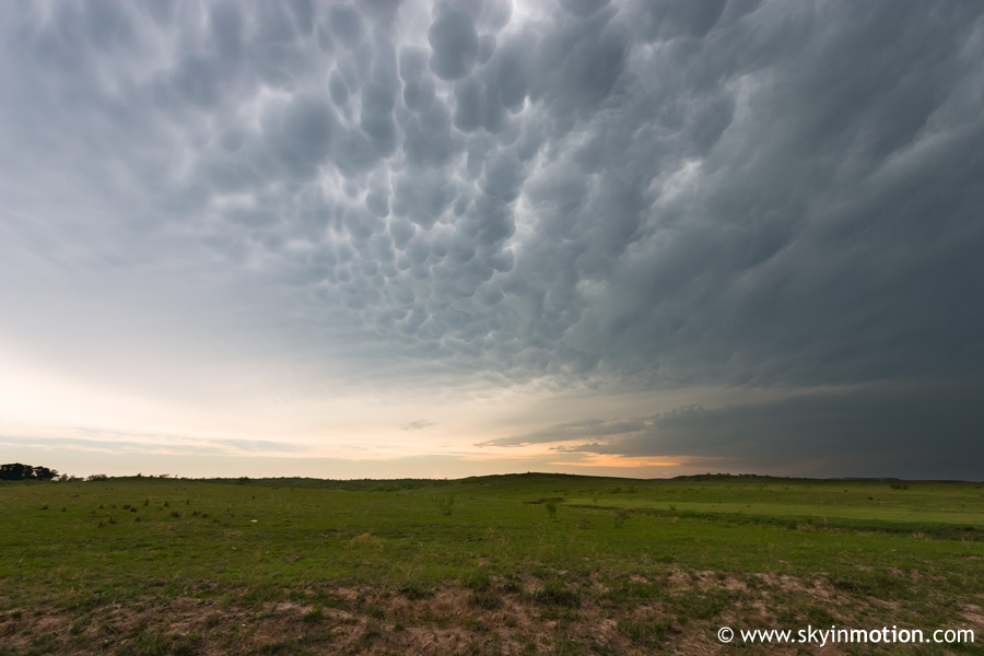
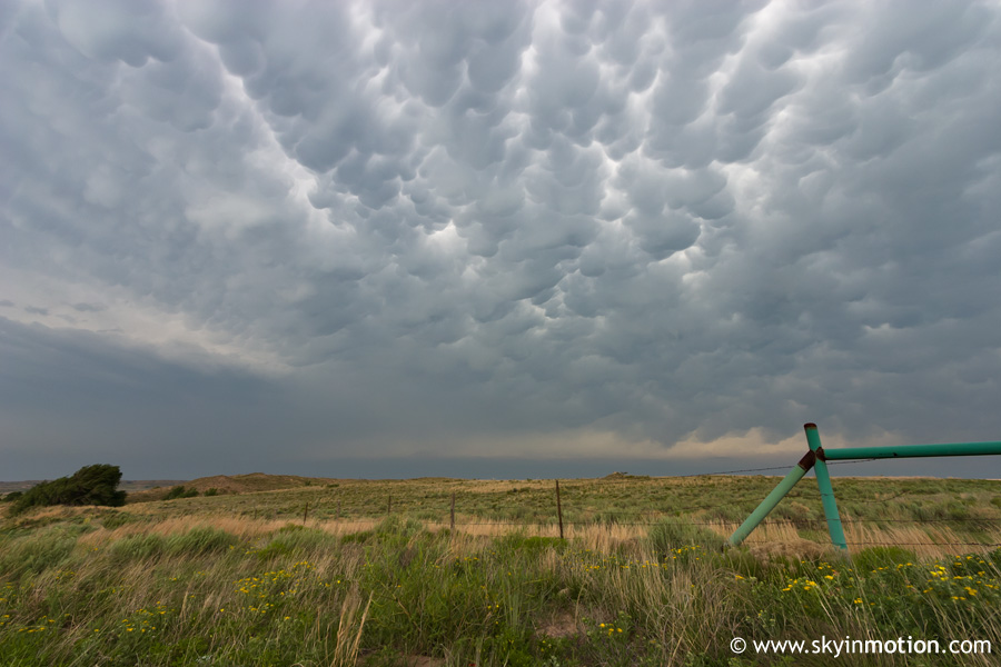
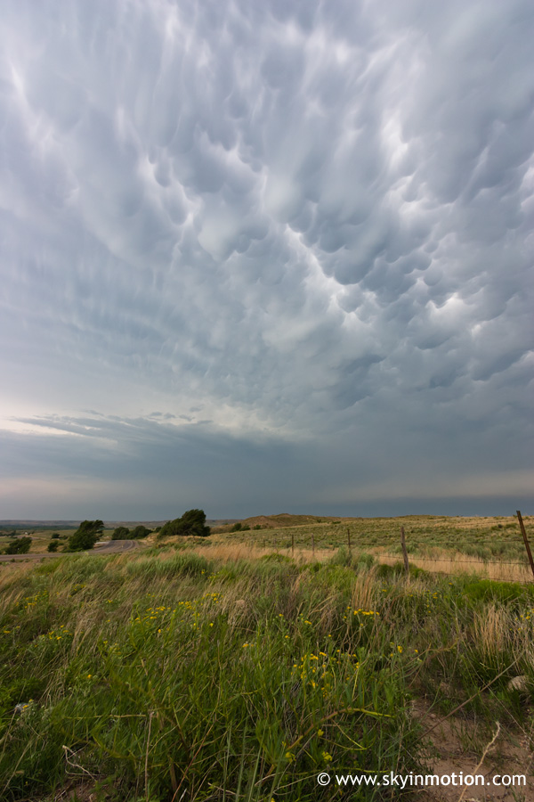
I dropped southwest through the lonely towns of Fargo, Gage and Shattuck before crossing the border into the beloved Panhandle (for the first time in over a year), where I continued on towards Canadian. By the time I arrived, widespread mammatus ahead of the messy supercell (which was now on the verge of going MCS, thanks in part to high dewpoint depressions and weak upper-level flow) created a photogenic, albeit less-than-exciting scene.
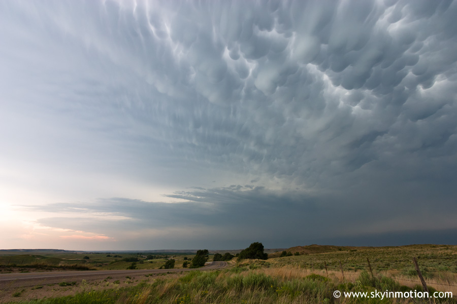
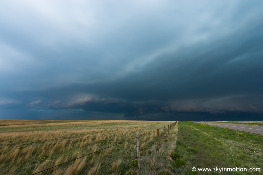
After several stops around the Canadian area, I pressed onward towards Pampa to meet up with the cell at last. All the while, I could see no hint of any structure of updraft base; just anvil and mammatus stretching about as far as the eye could see. Finally, I maneuvered through town and got to the northern outskirts, where I watched a shelf cloud approach over an empty field until the outflow hit.
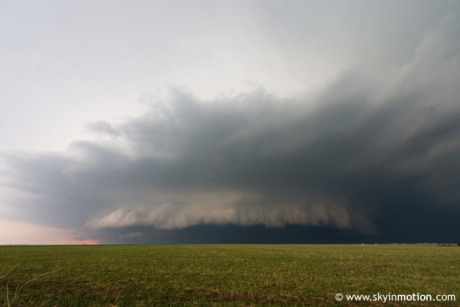
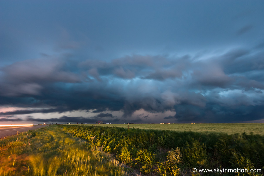
After frantically grabbing fast food to go before the nasty stuff hit the town, I shot eastward towards Wheeler and got back ahead of the storm, which went tornado warned shortly thereafter, much to my surprise. On radar, it was clearly an embedded meso within a formidable line of convection, so I held little hope of seeing anything. Still, I had to pull off again near the Gray/Wheeler Co. line to capture the approaching shelf illuminated by the "magic hour" light.