One of the more overhyped, overly-forced days in recent memory ends with a massive squall line and chasers' dreams crushed.
A bust to end all busts. One of the sweetest-looking setups in several years for the Plains as a whole on the models for a few days leading up, but the devil was in the details, and they ended up costing us everything. It had a "too good to be true" look to it, with phenomenal, early-spring-like dynamics overlaying June thermodynamics (SBCAPE 2500-4000 J/kg). Quite a bit like the setup around this time in 2007, actually (June 6), but the type of bust was different this time; instead of a cap bust, we had a March-like squall line roar through the entire span from SD to N TX.
There's not much point discussing the actual chase in a ton of detal, since there wasn't much to it. Brandon and I left around noon to target north-central OK into extreme south-central KS, where we thought the best chance of discrete supercells persisting well into the afternoon existed. After seeing a few pseudo-discrete storms initiate over NW OK with movement NNE, we ended up going a bit farther north into KS and taking US-160 west out of Wellington. We went north out of Harper, refueled in Kingman, then intercepted a maturing supercell south of Hutchinson. Problem is, it was very high-based and extremely outflow-dominant; with dewpoint depressions of 30-35 deg. F, I can't exactly say I was surprised. It only looked worse as it progressed eastward, despite moving into a more favorable environment (Wichita and Newton were reporting surface dew points near 70 F and had SSE surface winds).
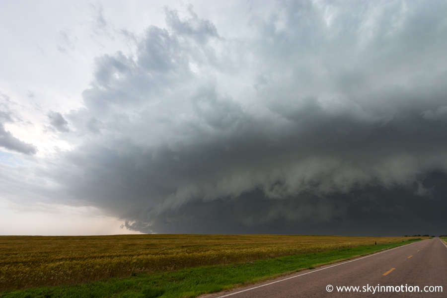
Essentially, the story of the day for the southern portion of the dryline in SW KS and W OK was storms initiating in unfavorably-dry air - T/Td spreads in much of this area were in the neighborhood of 95/60 - and quickly running into each other while producing cold outflow, such that by the time they reached the more primed I-35 corridor, a raging squall line had taken shape and the show was over. We reached I-135 at Newton and headed south for home, observing a disappointingly-ordinary shelf cloud near the KS-OK border along the way, and arrived back around 8:30pm.
I've still yet to have a truly successful chase on a High Risk day, and am beginning to think the joke among chasers about them guaranteeing a bust has some truth to it. Even when the forecast itself is accurate - such as on May 5, 2007 - you almost always get a widespread mess of convection, supercellular or not, and it makes for poor viewing conditions and confusing logistics. Sad as this may be, though, I ended this day only somewhat disappointed; at least everyone busted this day, as opposed to me missing ten wedges while 75% of the chasing community scored them all. May next season bring me enough good days that I can finally get out of that mindset...