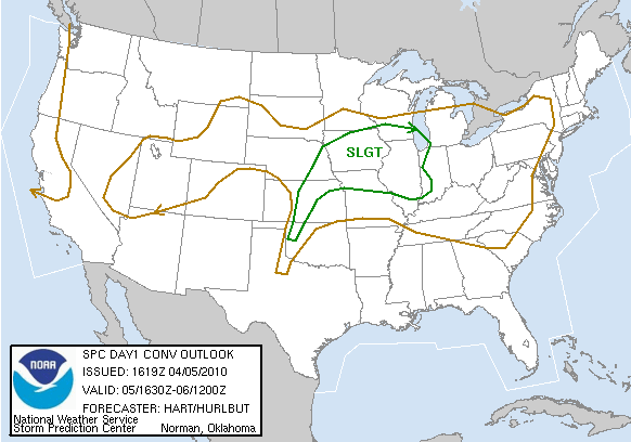
Cap bust... but no worries, it was only 15 EHI going to waste.
I was tempted to sit the day out given absolutely no model support for initiation anywhere S of I-70, but like usual, realized that I'd waste the entirety of the daylight hours frantically monitoring the situation from home even if I did. Vivek and I headed out around 1pm towards the OK-KS border on I-35. We stopped at Blackwell and sat around for nearly an hour, noting the incredible early-April moisture return with widespread 65-68 F dew points throughout OK. The dryline was oriented unfavorably NE-SW, extending from near SLN to P28 to CDS by mid-afternoon, with a bulge near the Wichita metropolitan area. However, it began retreating sometime after 4pm, and we headed W to Medford. After waiting there for a bit, we noticed increasing Cu on visible satellite from CDS to GAG, so we continued meandering W and S. The RUC analysis at 5pm indicated 3500-4500 J/kg SBCAPE with negligible SBCINH, so as usual, I was breifly tricked into getting my hopes up despite the continued insistence of all the models (including the HRRR, which had correctly forecast the previous night's supercells when no other model did) that convection would fail to initiate anywhere along the dryline.
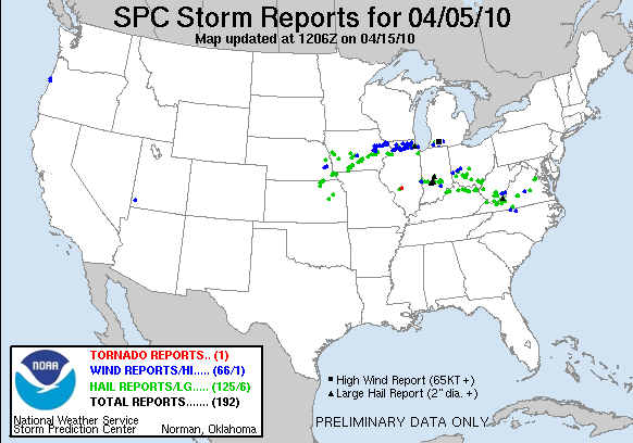
By the time we reached Orienta on our journey SW towards the best bubbling Cu on sat, reality began to rear its ugly head: the new RUC analysis showed increased CINH, and the Cu field was on the decline. Before long, the verdict from the atmosphere was clear: better luck next time! We headed home on the Northwest Passage, stopping in Yukon for dinner and making it home by about 10pm. After a March in which Td's >60 F were impossible to come by throughout the Plains, the 0200 UTC RUC analysis indicated widespread 0-1 km EHI values of 10-15 along the dryline as the sun set on a hazy, clear Oklahoma day. Following the frontal passage the next day, quality moisture would remain locked deep in the Gulf for at least a couple weeks.