Organizing supercell viewed from a distance at sunset, then a nocturnal squall line for the drive home.
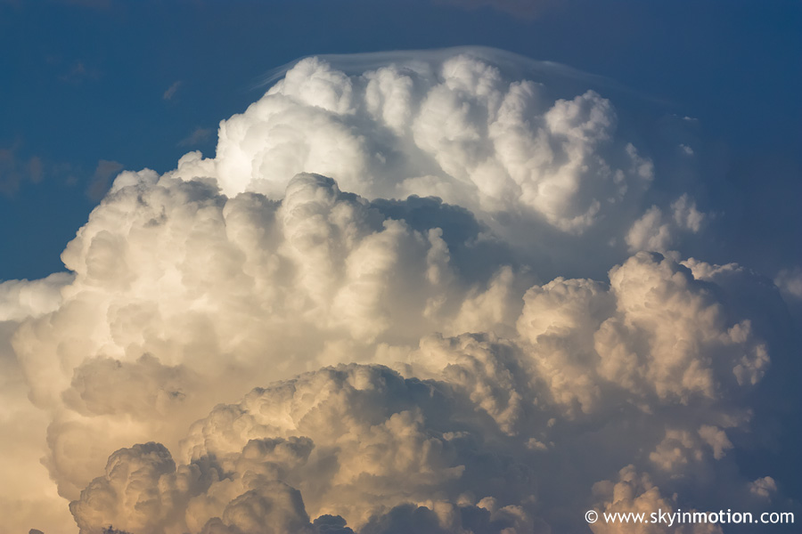
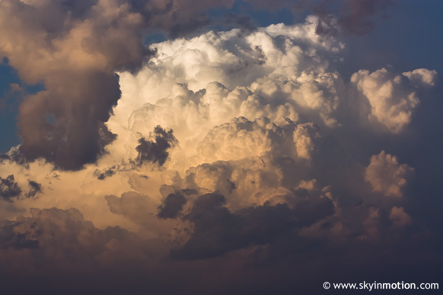
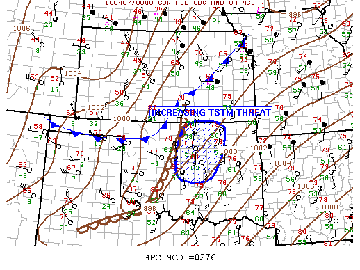
Totally classic day-after-the-day* setup with the dryline along I-35, waiting to be overtaken by the cold front associated with a synoptic-scale cyclone well on its way to becoming vertically stacked. Yeah, this never works too well. I tried to sit it out, but used a 30-minute window in which the Enid area reported backing surface winds and mid 60s surface dew points as an excuse to escape homework and take a jaunt N on I-35 with Brandon and Vivek. We sat in Blackwell for a couple hours, watching as numerous training quasi-discrete supercells developed along the cold front from ICT to MCI, but the dryline S of there remained inactive. By 6pm, a few puny and very high-based updrafts developed just to our W and NW, so we hedged up into Sumner Co. for a closer look. We ended up following one of them NE of Arkansas City before turning around. Just as we headed W towrads Winfield, the tops on our storm began shooting up as it blasted off to our NE. We stopped just N of town for a few shots.
*For complete accuracy, make that "day-after-the-day-that-never-was" for this case
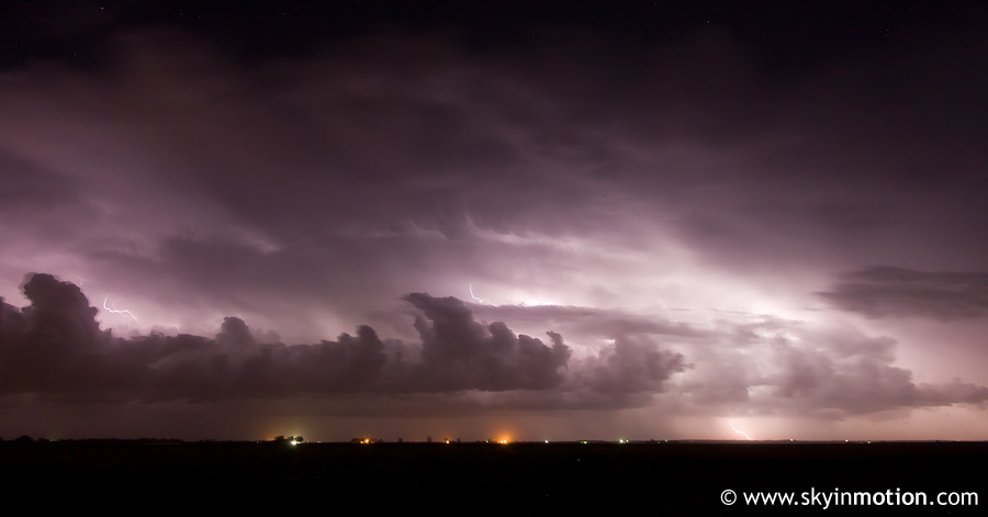
After dinner in Arkansas City, we headed home to catch up on the LOST episode we'd missed in vain, but stopped briefly near Billings on I-35 to shoot lightning with the prefrontal squall line to our SE.