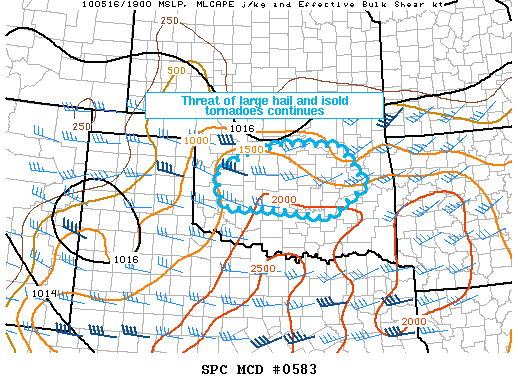
Monster hailer over OKC mid-afternoon, then a photogenic weak supercell on the way home.
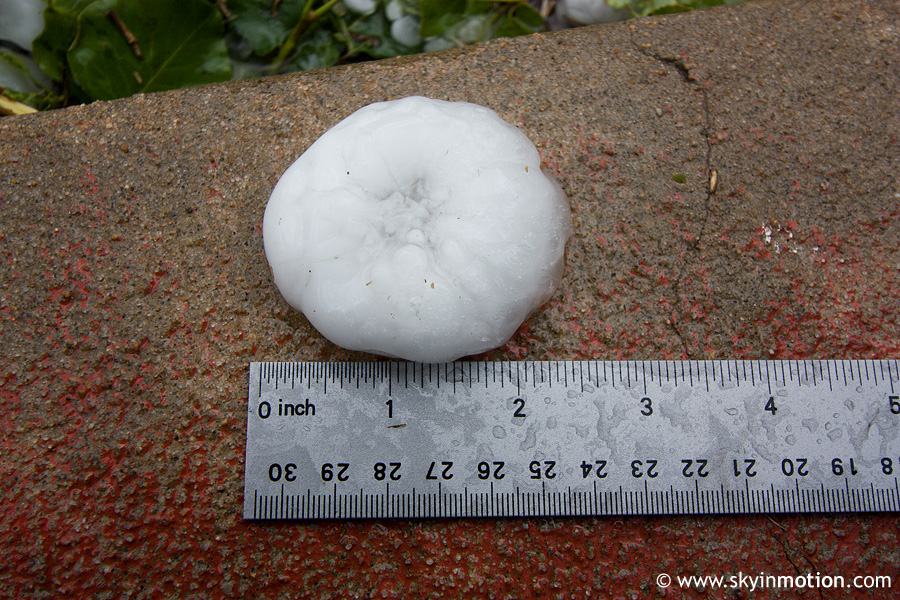
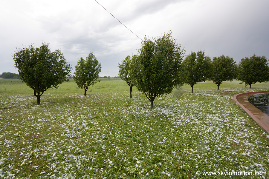
I arrived on the Kingfisher/Oklahoma Co. storm right around Piedmont and watched the deep blue core approach briefly before the stones started flying. Quickly found shelter for my car and rode it out -- it took a good 20 minutes before the quarters and golfballs stopped, to the point where I was actually getting bored and wanted it to be over with so I could get out from under the HP beast and see it again. After the barrage let up, I drove N a few miles (where it appeared the strongest dBZ and VIL had tracked) and found melted stones about 30 minutes old still 2-2.5" in diameter 6 NW The Village:
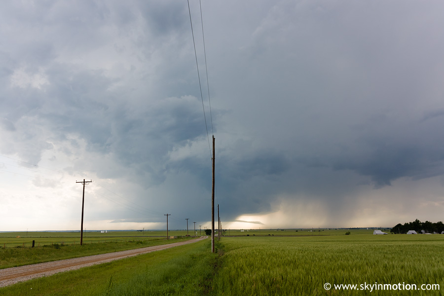
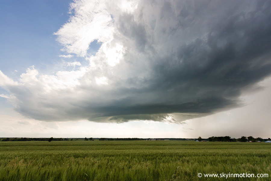
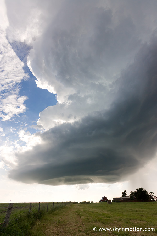
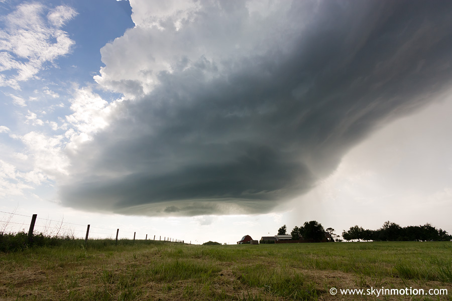
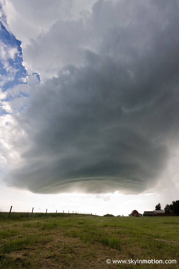
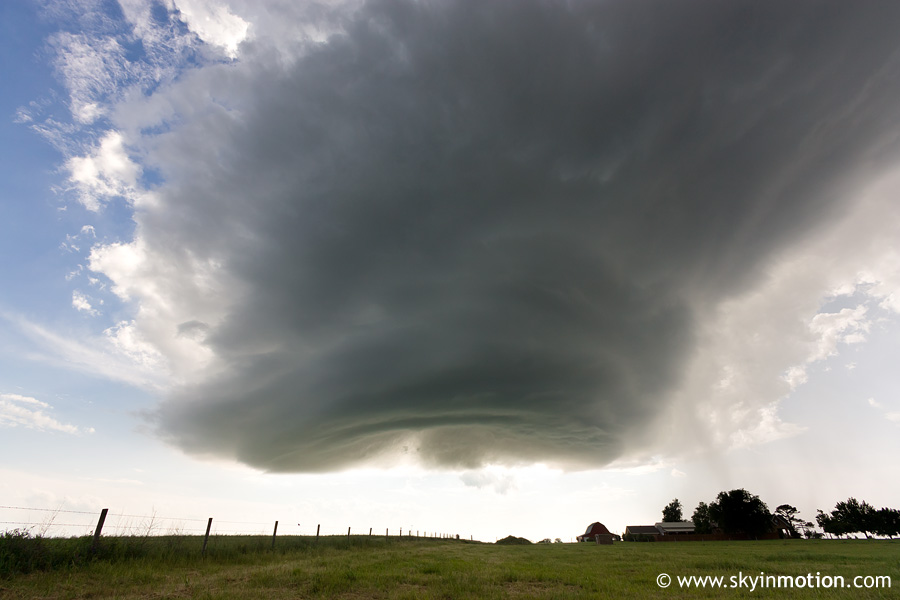
After enjoying the hail-covered landscape for a few minutes, I got back on I-40 and moved W to take a look at the new, weaker storms going up around Weatherford. I dropped S from El Reno on US-81 and was quite surprised at how photogenic this small supercell(?) was, despite never being severe. Here are a couple shots from around Minco and Tuttle as it hovered a few miles to my W.
It shriveled up and vanished rather quickly as it moved towards Newcastle, so I headed home. I sure didn't expect to see a storm that looked like that with the vertical wind profile we had today!